Cemetery Records
Burial records can be viewed using the below search facility. For additional information regarding a cemetery or burial, please contact the Burra Council office on 8892 0100 or via email at council@goyder.sa.gov.au
The Cemetery records can also be accessed through the Search Facility below. Apart from searching for records at any of the Goyder cemeteries listed below, a number of other Councils have also placed their cemetery records online and these too can be searched from the Goyder website.
Please note :
1. The Cemetery Records contain details of both burials and ashes interred.
2. Take care with the dates - they will appear in either year-month-day or day-month-year format.
Good luck with your search!
SEARCH
Graham Jaunay - Ancestral & Local History Research in www.jaunay.com
Goyder Cemetery Records
Apoinga Cemetery is located on an un-named road off of Mollers Gap Road, Apoinga. Council holds a partial record of burials within the cemetery. A catalogue of memorials located within Apoinga Cemetery was undertaken in 2015.
Thought to be the first cemetery in the area, Apoinga Cemetery was established sometime prior to 1879 and is located east of the Apoinga Smelter ruins (off of Mollers Gap Road, Apoinga).
The Regional Council of Goyder holds a partial record of burials within the cemetery dated between 1906 and 1958.
The Cemetery consists of 6 headstones along with an estimated 35 other marked and un-marked graves.
Notations contained within Councils burial records indicate there are also 7 graves located on private property (opposite the cemetery) on the site of the old Apoinga Smelter. The notation lists the following two names,
William Barker - age 29 - died 1851
Mary Row - 15 months - Daughter of Levinia Row
Persons interested in viewing graves located on private property should first seek permission and arrange access with the property owner.
A map of the Apoinga cemetery and photos of headstones are accessible below,
Further information can be found here courtesy of www.findagrave.com

Further information can be found by clicking here courtesy of www.findagrave.com
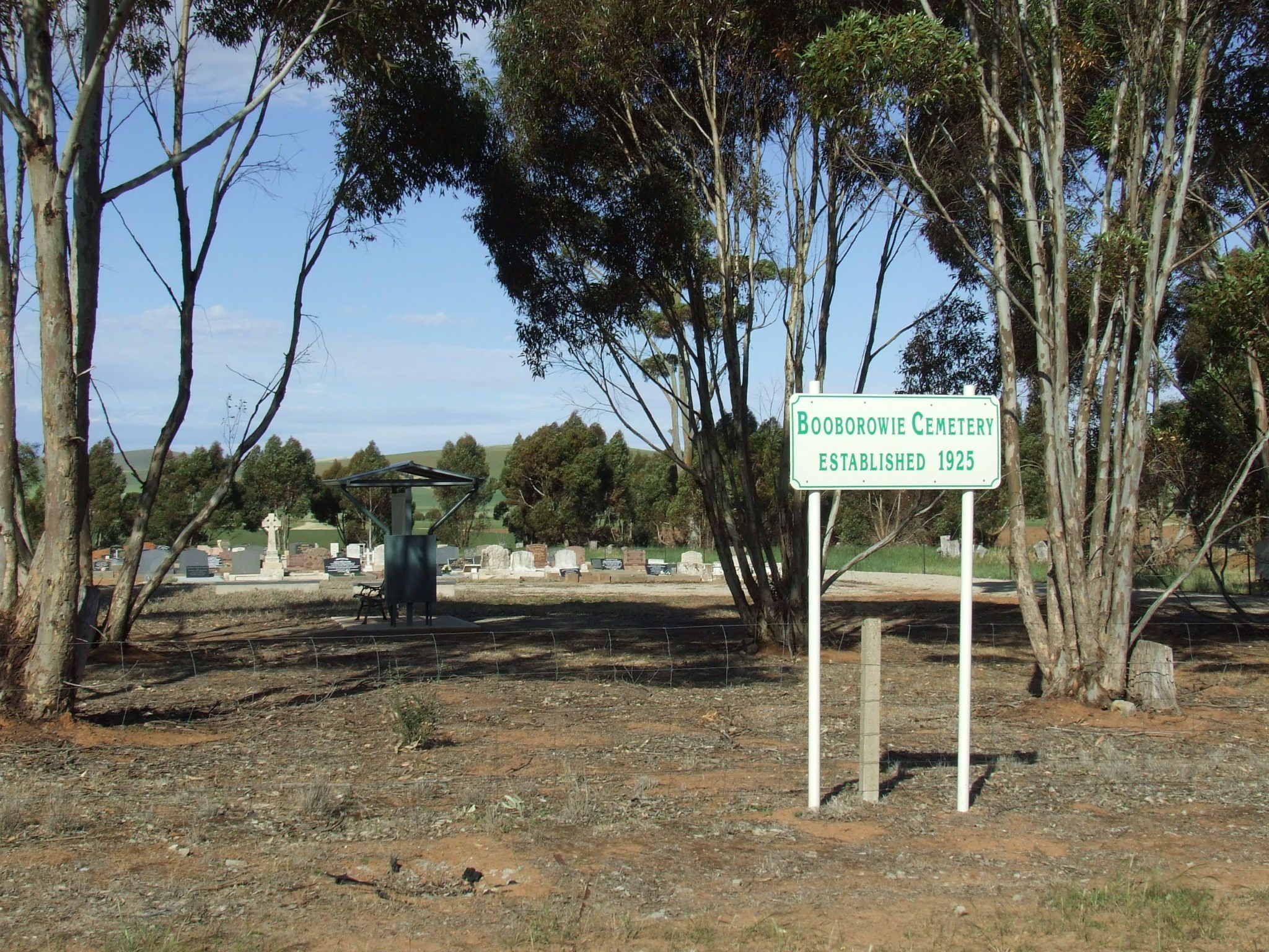
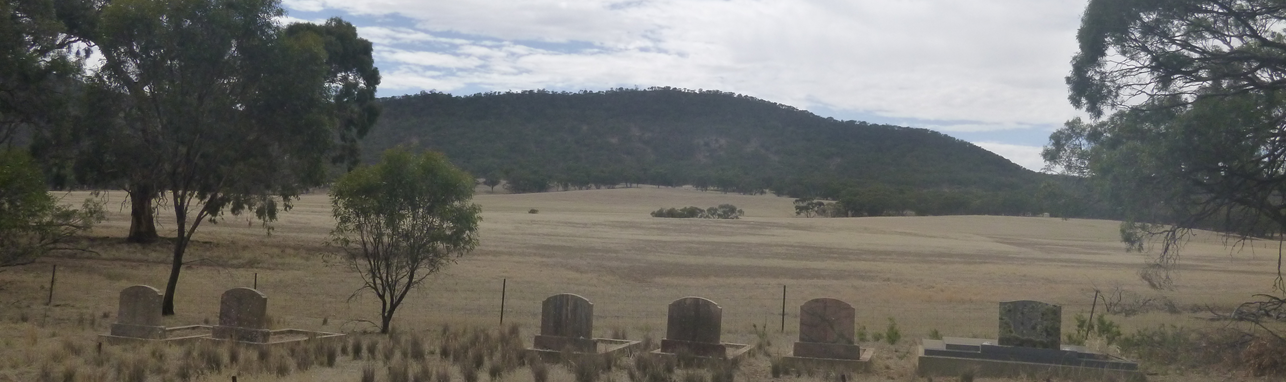
A project undertaken by Booborowie Primary School has greatly enhanced our online information for graves at the Booborowie cemetery. With the assistance of community members and a grant through the Commonwealth History Project, all the headstones were photographed and the inscriptions transcribed and this information made available to Council and has been added to the Cemetery Search database. The students also produced a short introduction to the Cemetery and recorded how they went about preparing for and completing the project, both of which can be viewed by clicking on the links below.
Booborowie Cemetery Background
Booborowie Cemetery Project Presentation
Their efforts are to be commended and Council is delighted to be able to share such a valuable social history resource.
Further information can be found by clicking here courtesy of www.findagrave.com
Further information can be found here here courtesy of www.southaustralianhistory.com.au and here courtesy of www.findagrave.com
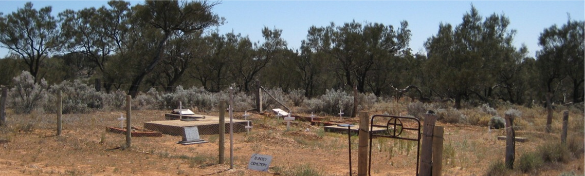
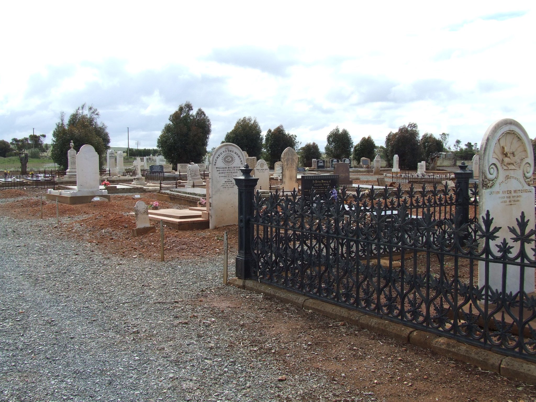
Bundey Cemetery is located off of Bundey Church Road in the Hundred of Bundey. The Cemetery is most easily accessed via Bower Boundary Road (off of the Goyder Highway between Burra and Morgan). While Council does not hold the original records for the Cemetery, a catalogue of memorials located within the Bundey Cemetery was undertaken in 2015.
A cemetery map and headstone photos can be viewed below.
Established in 1886, The Bundey Lutheran Cemetery and Church Ruins are associated with the settlement of the Bundey district in the late nineteenth century, particularly with German migrant settlement.
The Bundey Lutheran Cemetery is a small cemetery containing graves dated between 1886 and 1913. The cemetery is located near the ruins of the Bundey Lutheran Church on Bundey Church Road, Hundred of Bundey.
The Cemetery consists of 7 headstones along with 10 other marked children's graves. The names of the children interred in marked graves are listed on the Bundey Cemetery plaque.
A map of the cemetery, photos of plots and the cemetery plaque are accessible below.
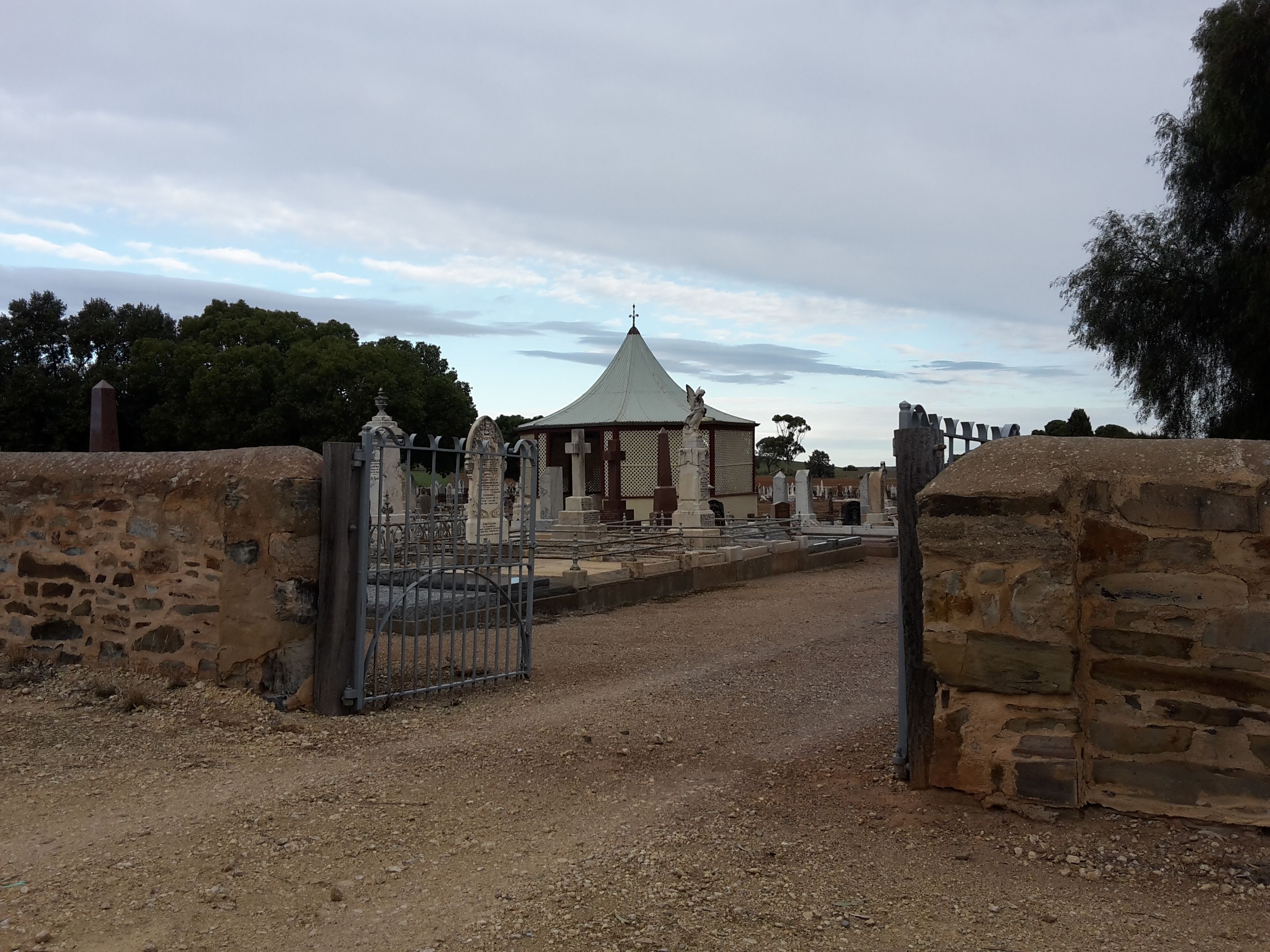
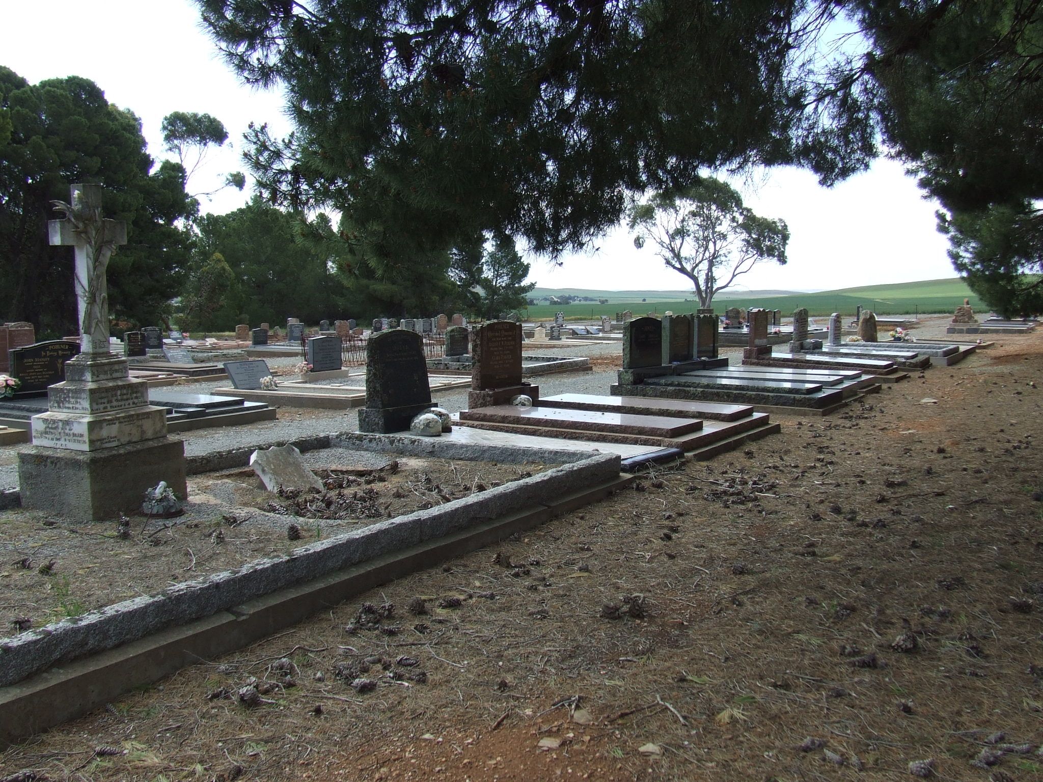
A copy of the Burra Cemetery Records are held at the Burra Community Library, Bridge Terrace, Burra. Some photographs of headstones located in the Burra Cemetery are available by using the online cemetery records.
Further information can be found here courtesy of www.findagrave.com
The Original "First Kooringa Cemetery"- It is impossible to know the exact numbers buried in this cemetery, nor how many people are missing from the records. Based on sources available the names stored on this website under this Cemetery are of the men, women and children known to have died in Kooringa, the Burra Creek dugouts or while working for the Burra Burra Mine between 1845 and May 1850. It is reasonable to conclude that many of them rest here, in the First Kooringa Cemetery. In 1899 a memorial was erected in their honour and it is still visible today.
Council's online cemetery records also includes records and headstone photos of the Emu Downs Cemetery which is maintained by the Russian Molokan Spiritual Christian Leapers & Jumpers Cemetery Inc. The Emu Downs Cemetery is located off of Kotz Road, Emu Downs.
Further information can be found here here courtesy of www.southaustralianhistory.com.au
Cemetery Plan-Terowie-Catholic Section
Further information can be found here courtesy of www.findagrave.com
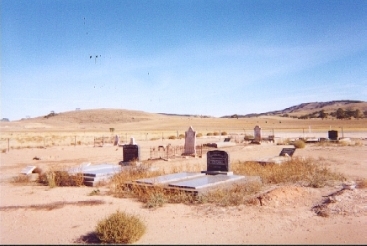
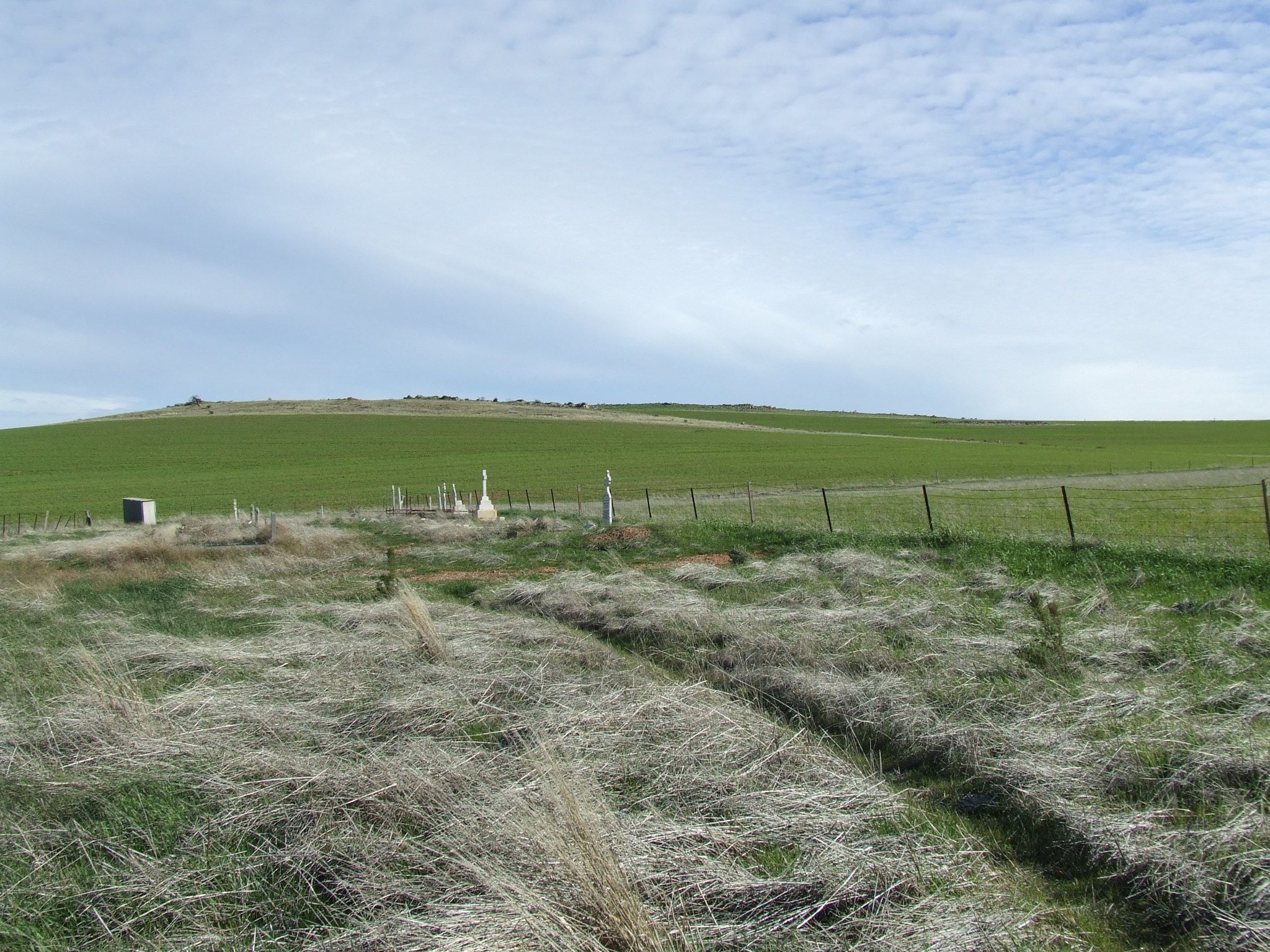
Upper Bright Cemetery is located off of the Worlds End Highway between the Burra Creek Gorge and Robertstown. While Council does not hold the original records for the cemetery, a catalogue of memorials located within the Upper Bright Cemetery was undertaken in 2015.
The Upper Bright Cemetery contains graves dated between 1890 and 2015. The cemetery is located off of the Worlds End Highway between the Burra Creek Gorge and Robertstown.
The Cemetery consists of 24 headstones along with 11 other marked graves. While Council does not hold the original records for the cemetery, a catalogue of memorials located within the Upper Bright Cemetery was undertaken in 2015.
A map of the cemetery and photos of headstones are accessible below,
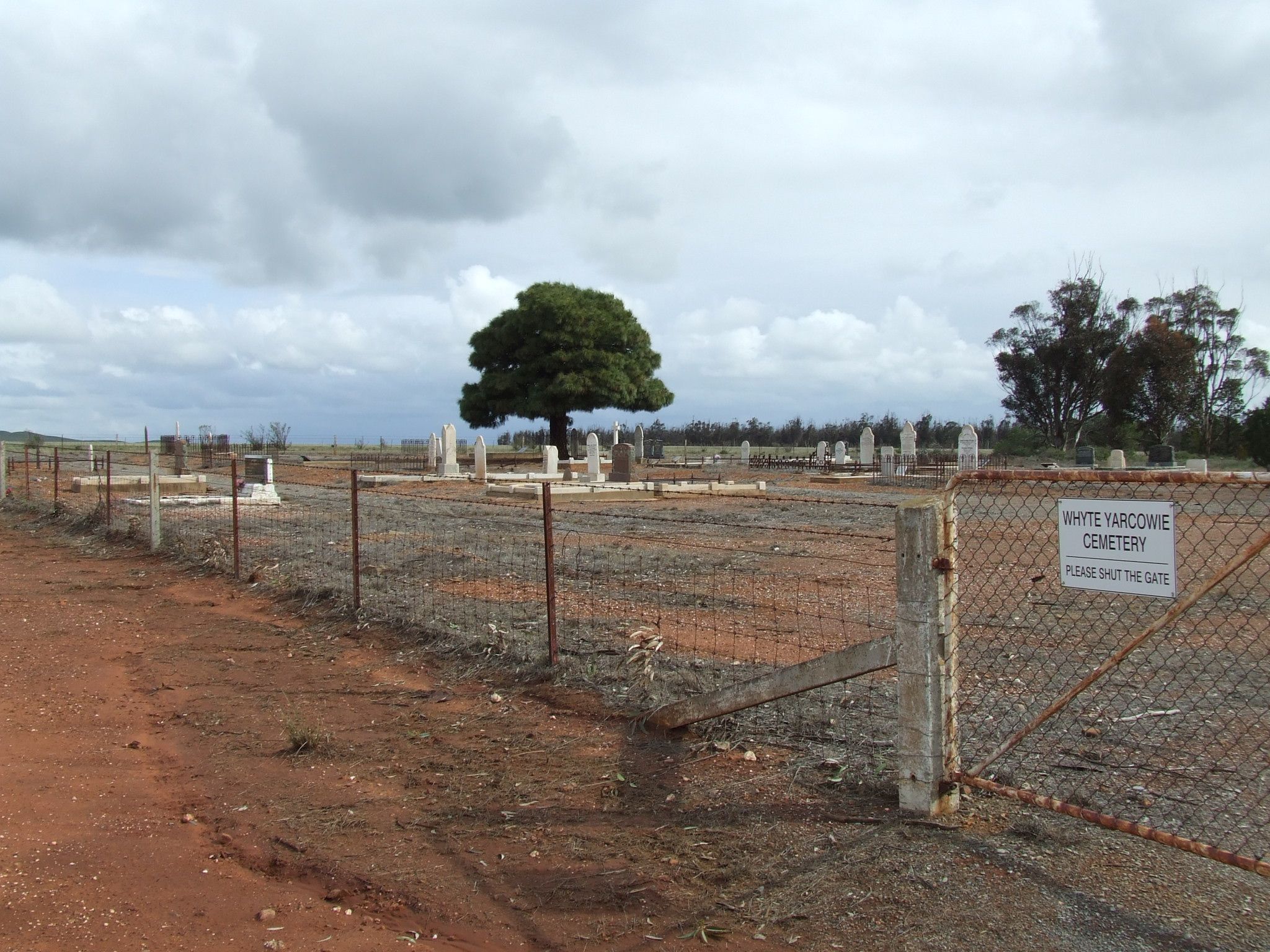
Cemetery Plan-Yarcowie-Catholic Section
Further information can be found here courtesy of www.southaustralianhistory.com.au